Our Travels - where we have been in our Motorhome
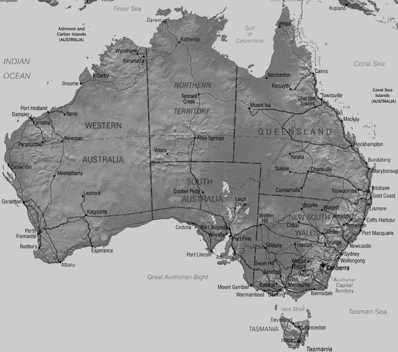
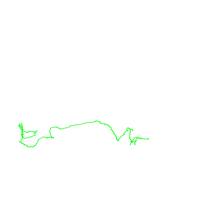
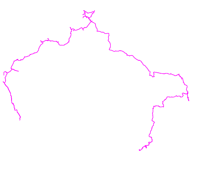
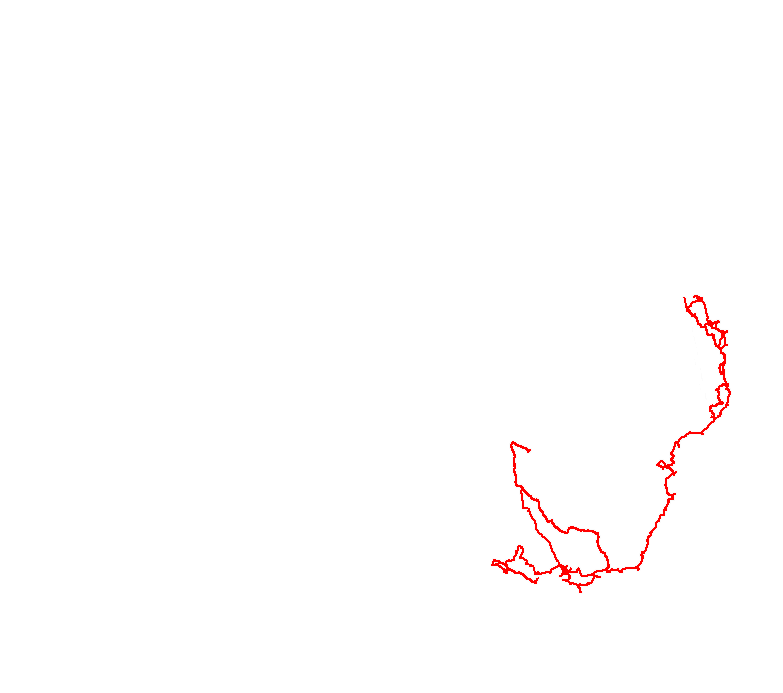
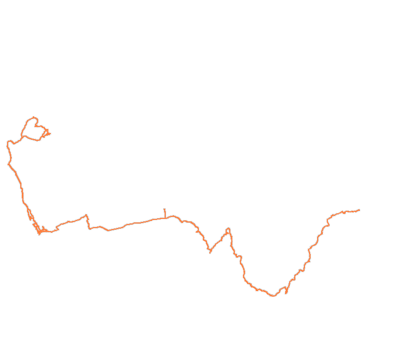
This page contains a map of Australia showing our GPS track (where we have traveled) and the places we have visited in the motorhome. The table above the map features links to the monthly blog pages arranged by year and month. The colours of the years in the table correspond to the color of the GPS tracks on the progress map (eg the yellow track is 2006). You can turn tracks off and on using the checkbox for that year. You can also jump directly to a monthly blog entry by clicking on any one of the state links in the table. The most recent entry is available HERE. (18th of May 2016)
Thanks to our friends at SoftRock you can see where we are right now by - clicking here.
| Map Track | Jan | Feb | Mar | Apr | May | Jun | Jul | Aug | Sep | Oct | Nov | Dec | |
| 2003 | (6,809km) | NSW | NSW | NSW | QLD | QLD | QLD | QLD | QLD | ||||
| 2004 | (12,802km) | QLD | QLD | QLD | QLD | QLD | VIC | VIC | QLD | QLD | NT | NT | SA |
| 2005 | (9,643km) | SA | SA | WA | WA | WA | WA | WA | WA | WA | WA | WA | WA |
| 2006 | (9,345km) | WA | WA | WA | WA | WA | WA | WA | NZ | ||||
| 2007 | (16,891km) | NZ | WA | WA | WA | WA | WA | WA | NT | QLD | QLD | NSW | VIC |
| 2008 | (14,473km) | VIC | VIC | VIC | VIC | VIC | NSW | NSW | S Am | S Am | QLD | QLD | QLD |
| 2009 | (14,846km) | NSW | VIC | VIC | SA | WA | WA | WA | WA | WA | WA | WA | NZ |
| 2010 | (15,508km) | NZ | WA | WA | WA | WA | WA | WA/NT | WA | WA | WA | WA | WA |
| 2011 | (13,475km) | WA | WA | WA | WA | WA | WA | WA | WA | WA | WA | QLD | QLD |
| 2012 | (4,016km) | QLD | QLD | QLD | QLD | QLD | QLD | QLD | QLD | QLD | QLD | QLD | |
| 2013 | (13,844km) | QLD | QLD | NT | WA | WA | WA | WA | WA | ||||
| 2014 | (???km) | WA | WA | WA | WA | ||||||||
| 2015 | (???km) | QLD | QLD |


So how is this done?
I have been asked a few times about how this map is generated - so here is a brief overview (it is a little complex and far from automatic)...
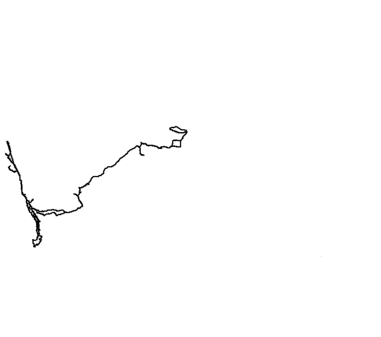
- Our Garmin GPS records our track as we travel, this is downloaded to a laptop at the end of each day (because its an old GPS and does not hold much data)
- At the end of each month I load all of these tracks into a PC program called OziExplorer. I then join all daily files to make a monthly file.
- I add the new monthly track file to the current year file and end up with a track of our travels this year.
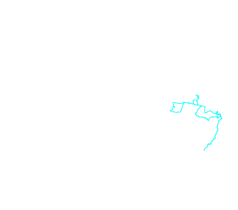
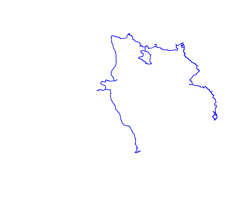
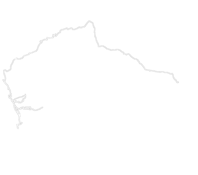
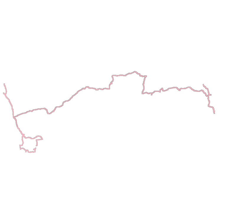
- This track (over a map) is imported into Photoshop and just the track is extracted and converted into a transparent PNG file. This PNG file is uploaded to the website.
- A small javascript program controls the individual PNG files (yearly tracks) and allows them to be displayed or hidden.
So as you can see - a bit complex and a very long way from automatic - but I like it better than a Google map.